The source
Three principal springs, one protected source landscape.

At the foot of Dinara, the Cetina rises from deep karst in a pool of extraordinary clarity. This is not simply a viewpoint. It is the beginning of a river, a protected natural monument and an invitation to read an entire landscape through water.
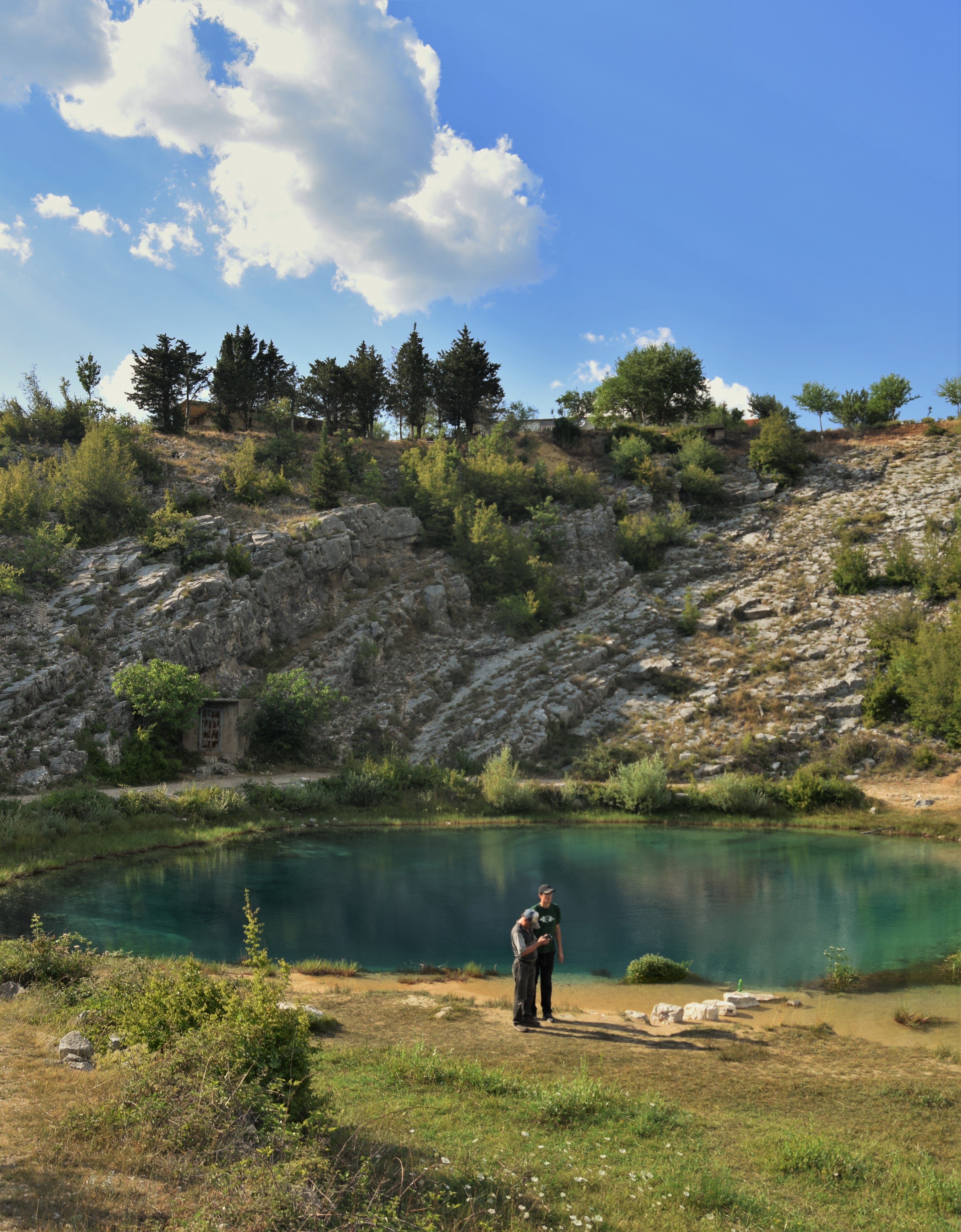 Iva Šutevski · CC BY-SA 4.0
Veliko vrilo — often called Glavaš — is the best-known of the main Cetina springs. Water emerging from the Dinaric karst forms a dark cobalt centre that fades into turquoise shallows, framed by pale limestone and seasonal vegetation. Nearby Vukovića and Batića springs complete a source landscape that is far larger than one iconic pool.
The most powerful thing here is not the colour. It is the sense that a river is beginning beneath your feet.Discover the spring →
The source sits between mountain, field and underground water. Dinara is the great vertical presence; Paško and Vrličko polje create open horizontal space; the Cetina connects them as a moving line of water.
Three principal springs, one protected source landscape.
A mountain wall of limestone, grassland and high-karst habitats.
A broad reservoir that receives the young Cetina before its journey south.
Pre-Romanesque stone, old routes, song and inland-Dalmatian memory.
 © Anil Öztas · CC BY-SA 4.0
CetinaSpring.com is conceived as the close-up: the place, geology, etiquette and stories of the source. Cetina.travel continues the journey across the wider river landscape — villages, fields, lakes, heritage and the route toward Omiš and the Adriatic.
Explore the whole river ↗
The springs are protected. Stay on established access, avoid disturbing the water and vegetation, take all waste with you, and check current local rules before swimming, diving, drones or any activity that enters the spring. The strongest visit is the one that leaves the site unchanged.
Plan your visit →Photography uses openly licensed Wikimedia Commons files with attribution, plus an editorial fallback image created for this website. See Credits for full licence details.
Near the village of Cetina, north of Vrlika, at the foot of Dinara in Šibenik-Knin County.
No. Veliko/Glavaš is the most photographed, but Vukovića and Batića are also among the principal springs in the protected source landscape.
Croatian environmental documentation records the submerged speleological system at Veliko/Glavaš as explored to around 150 metres. Exploration depth is not the same thing as a simple lake depth.
Yes. Vrela Cetine has been protected as a natural monument since 1972 and also sits within wider protected/ecological-network management contexts.