Plan your visit
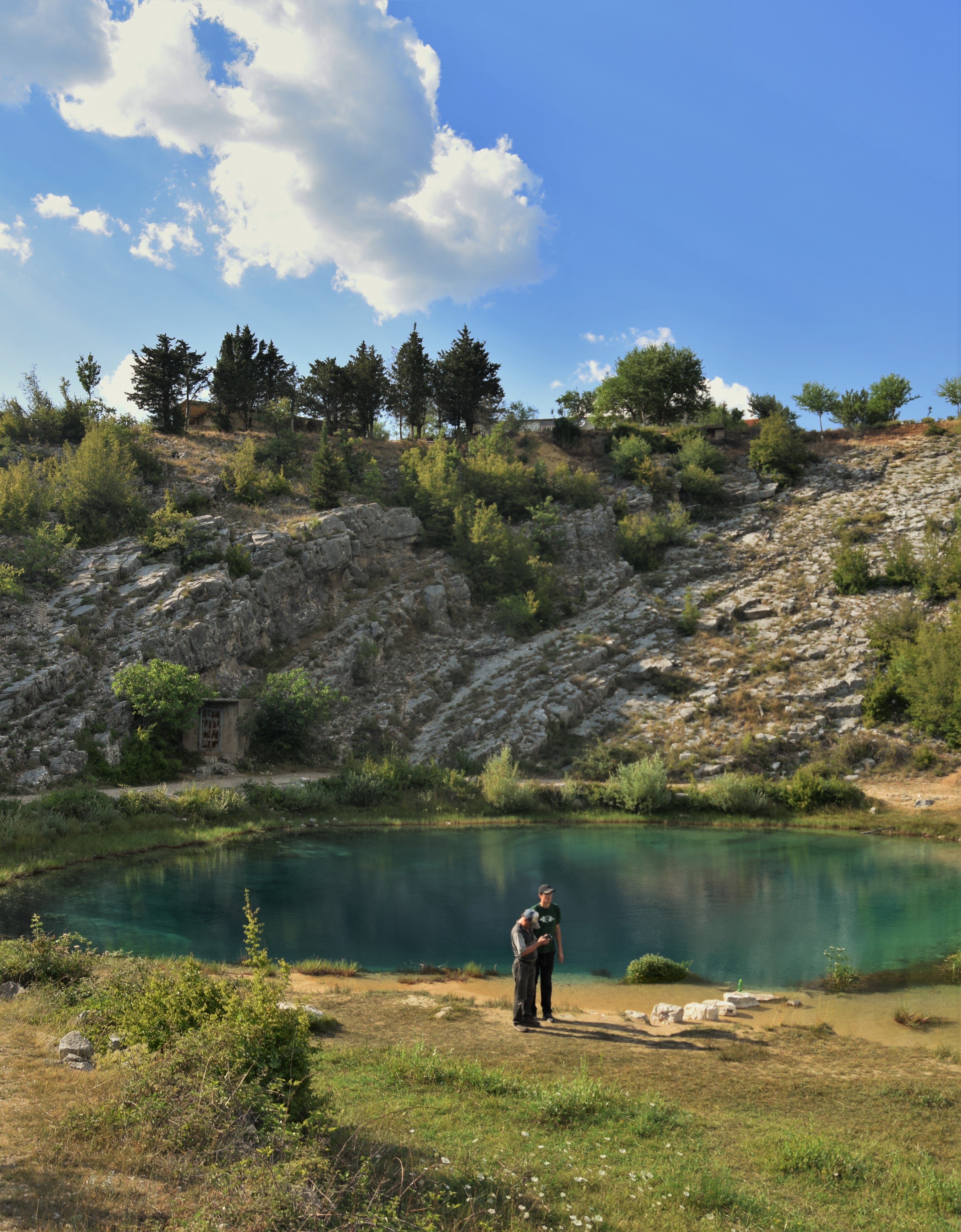
Approximate coordinates for Veliko vrilo are 43.9769° N, 16.4299° E. A mapped surface parking area sits close to the viewpoint, but access conditions can change. Download your route before entering rural areas and use local signage as the final authority.
- 01
Come early or late for quieter light and fewer visitors.
- 02
Wear stable footwear: limestone edges can be uneven and slippery.
- 03
Carry water and sun protection; exposed inland terrain can feel hotter than the coast.
- 04
Do not treat the pool as a swimming attraction. Check current protected-area rules before entering the water.
- 05
Combine the spring with Vrlika, the Church of Holy Salvation, Dinara viewpoints or Lake Peruča for a fuller day.
Essential questions
Where exactly is Cetina Spring?+
Near the village of Cetina, north of Vrlika, at the foot of Dinara in Šibenik-Knin County.
Is Glavaš the only source?+
No. Veliko/Glavaš is the most photographed, but Vukovića and Batića are also among the principal springs in the protected source landscape.
How deep is the spring?+
Croatian environmental documentation records the submerged speleological system at Veliko/Glavaš as explored to around 150 metres. Exploration depth is not the same thing as a simple lake depth.
Is the site protected?+
Yes. Vrela Cetine has been protected as a natural monument since 1972 and also sits within wider protected/ecological-network management contexts.